lat 45.160889
long -123.657107
Below is the view of the falls from the trail. The trail continues down to the creek and across the creek (if you can make your way across by hanging onto logs and wearing boots) then winds its way up to the road above. That road crosses the creek upstream, above the higher and inaccessible Yoncalla Falls, and goes back downstream to where the road to this trail cuts back again along the creek. Waterhole 8 is the pool below the road culvert at the start of the trail to the West Fork falls. Most of the locals call this smaller falls Yoncalla Falls. Probably since the much higher one on the main branch of Yoncalla Creek is not visible from anywhere except at the bottom of a very steep and wooded bank.

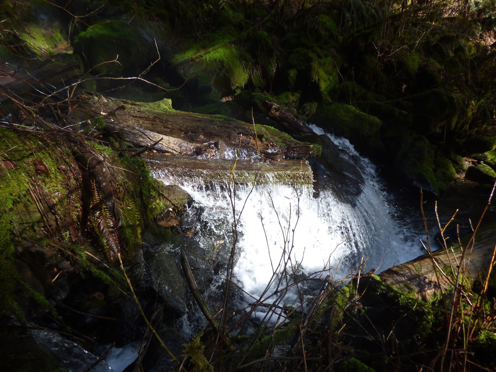
I took this photo from the base of the West Fork falls. A logjam creates a pool at the foot.

Below the logjam, the water falls another 5 feet.
Here is the upper and lower tier.

I hiked across the creek to get a view of the top of the falls, which is not visible from the trail side.


Since the top of the falls is hard to see, I zoomed the camera in and held it high over my head to get this shot.

Here is upper and lower drop from the north side of the creek.

No comments:
Post a Comment