Our project to photograph and measure waterfalls we visit

Sunday, February 21, 2016

Mistaken Identity for "Gilbert Creek Falls"

On March 5, we drove again to this area and discovered the *real* Gilbert Creek Falls. We had two things wrong in our Feb. 20 visit. First the Falls that flows into Coast Creek is not the one called Gilbert Creek Falls. Second, the stream just downstream from the falls that flows into Coast Creek is not Gilbert Creek. It is Canada Creek. The real Gilbert Creek Falls is, appropriately enough, on Gilbert Creek. My blog post titled "The Real Gilbert Creek Falls" has photos and info. It is quite spectacular... and quite inaccessible. We were invited to see it by chance. Below is what I wrote on Feb. 20 about the falls we mistook for Gilbert Creek Falls.

On Feb. 20, 2016, we drove to Gilbert Creek Rd. and Coast Creek Rd. looking for the falls called Gilbert Creek Falls in the Northwest Waterfalls Survey site. We found a lovely waterfall near but not connected to Gilbert Creek. It flows off the side of a ridge into Coast Creek just a few yards upstream... and on the opposite side... from where Gilbert Creek flows under Coast Creek Rd. and into Coast Creek. The falls is located across Coast Creek from a private residence. Trees lining Coast Creek Rd. make it difficult to see the falls. Once they leaf out, it will be impossible to see it.

Hopefully we'll be able to meet the property owners some day and ask what *they* call that waterfall. I doubt very much they call it Gilbert Creek Falls.

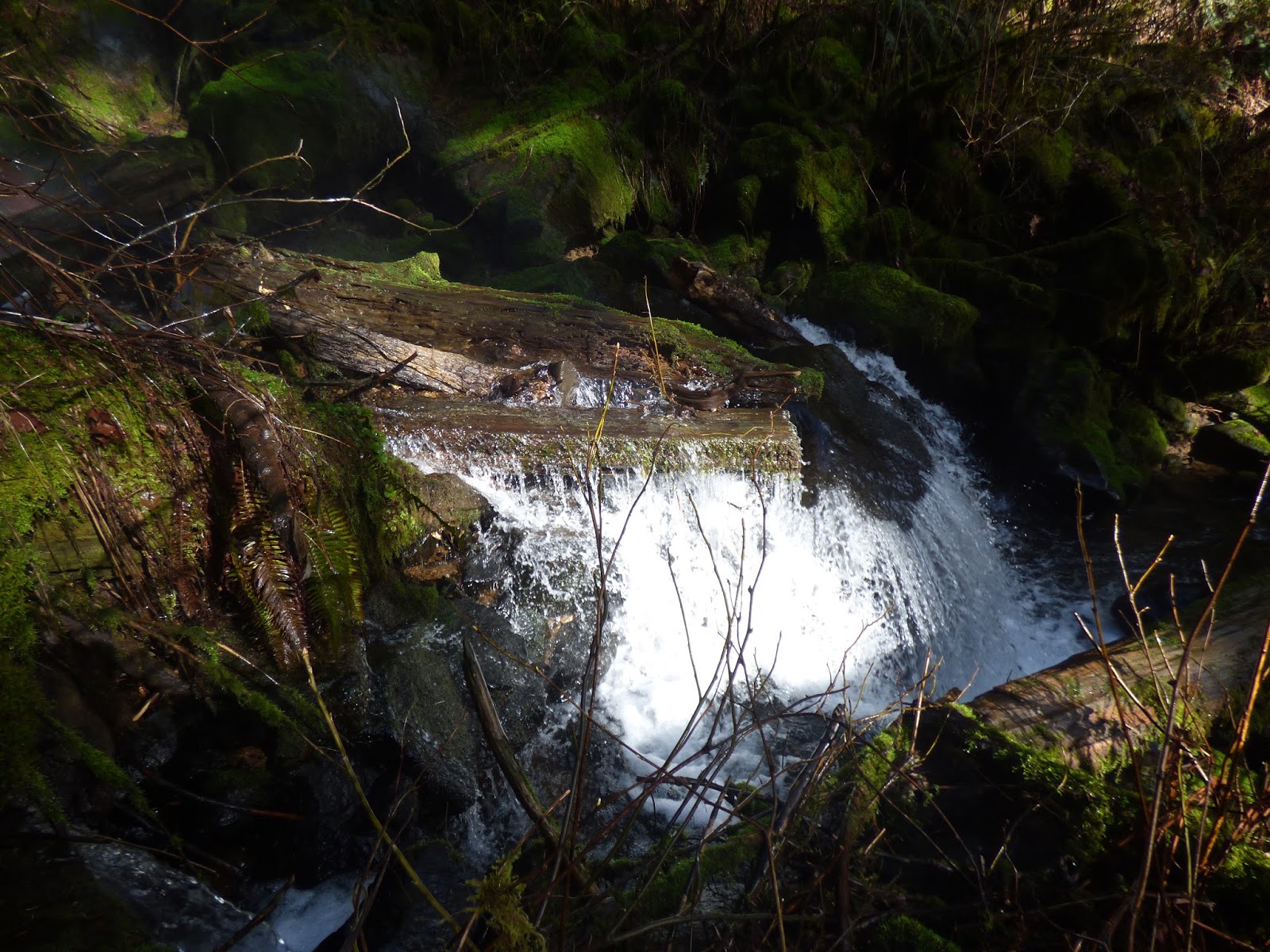
Because of the trees lining the road, I was unable to get an unobstructed view of the falls. I climbed the bank on the opposite side of the road from the house and creek and falls and took photos through the branches. Not all of the waterfall is visible as a result.

The maps do not show the creek that creates the falls so I was unable to pinpoint the GPS. My guesstimate is
45.156293
-123.527095

Property the waterfall is on and property where it is visible from is all privately owned (according to our color-coded forest maps) so the waterfall is not accessible except in a drive-by on the gravel Coast Creek Rd.


Monday, February 15, 2016

Niagara Falls and Pheasant Creek Falls

The Niagara Falls trail goes to two waterfalls, neither one on Niagara Creek. Niagara Falls got its name from its proximity to Niagara Point, a 1,732 ft / 528 m mountain peak near Willamina. It is the first waterfall the Niagara Falls trail arrives at, but is not the more spectacular falls at the end of the trail. That one is Pheasant Creek Falls.

We hiked to both falls on 2/13/16 and took photos. Our rough measurement of Niagara Falls was 103.5' which seemed plausible considering the official height of the Pheasant Creek Falls is 124 feet. However, the official height of Niagara Falls, according to the World Waterfall Database is 122 feet! I could see no way these two falls are so close to the same height. The U.S. Forest Service, on the other hand, says it is 107' which is much closer to our approximation. I wrote to Bryan Swan, who does the Northwest Waterfall Survey and he explained why Niagara looks so much shorter than it really is:

"It's an illusion called foreshortening - essentially the tendency of something to look smaller because you're so close to it.  I honestly questioned my measurement of that one as well..., but I measured it with a laser rangefinder and it's proven over the years to be exceedingly accurate (with a margin of error of about 15 feet or so)."

We'll have to get a laser rangefinder!

Here are two photos of Niagara Falls taken from close to the bottom of the falls. (The trail passes just below the falls.)


For more info on this falls, see the Northwest Waterfall Survey: Niagara Falls
http://www.waterfallsnorthwest.com/nws/falls.php?num=4084

The official sites say Niagara Falls is seasonal with a 7 month run. However, we were there on 8/12/2012 and there was water flowing over both falls, not much but some. Probably in very dry years, it does dry up late summer.

World Waterfall Database: http://www.worldwaterfalldatabase.com/waterfall/Niagara-Falls-4084/


Here are two photos of Pheasant Creek Falls, taken from a distance, on 2/13/16.


The below photo was taken from a slightly different angle, making it look like the falls actually has two drops, which it does "officially" with the tallest drop 106', upper drop 18'.


Northwest Waterfall Survey website: Pheasant Creek Falls 
http://www.waterfallsnorthwest.com/nws/falls.php?num=4079 

World Waterfall Database: http://www.worldwaterfalldatabase.com/waterfall/Pheasant-Creek-Falls-4079/


Friday, February 12, 2016

West Fork Yoncalla Falls

Feb. 12, 2016, Johnny and I hiked the short trail to the falls on the west fork of Yoncalla Creek. Johnny used his Suunto Instrument to measure the angle between top and bottom of the falls while I hiked to the base of the falls with the end of the tape measure to give him the distance from him to the falls. He then computed the height of the falls to be 20 feet to the first drop. The falls then pools (along with a mass of logs) for about 5 feet before falling another 5 feet to the creek bed where it continues to tumble down over rocks to join the main fork of Yoncalla Creek.

lat 45.160889
long -123.657107

Below is the view of the falls from the trail. The trail continues down to the creek and across the creek (if you can make your way across by hanging onto logs and wearing boots) then winds its way up to the road above. That road crosses the creek upstream, above the higher and inaccessible Yoncalla Falls, and goes back downstream to where the road to this trail cuts back again along the creek. Waterhole 8 is the pool below the road culvert at the start of the trail to the West Fork falls. Most of the locals call this smaller falls Yoncalla Falls. Probably since the much higher one on the main branch of Yoncalla Creek is not visible from anywhere except at the bottom of a very steep and wooded bank.


I took this photo from the base of the West Fork falls. A logjam creates a pool at the foot.


Below the logjam, the water falls another 5 feet.


Here is the upper and lower tier.


I hiked across the creek to get a view of the top of the falls, which is not visible from the trail side.


Since the top of the falls is hard to see, I zoomed the camera in and held it high over my head to get this shot.


Here is upper and lower drop from the north side of the creek.

This creek runs all year but is much lower in the summer with the creek much easier to ford then.

Yoncalla Falls

On Feb. 12, 2016,  I hiked to the bottom of this falls. It is not visible except in pieces from the road that crosses Yoncalla Creek above the falls.

I measured this falls, which we call Yoncalla Falls, by lowering a measuring tape from the top of the falls to the bottom. Johnny stood on the opposite side of the creek where he could see when the tape hit the bottom.  There is no trail and access to the bottom of the falls is very steep. After measuring from the top, I climbed across the creek, as the bank was too steep on my side, and down the opposite bank to the creek, crossed the creek to get a clear view and climbed on a fallen log to take these photos. 

lat 45.161366
long -123.655621

height 40'

This first photo was taken a little way downstream where the bank on the right side of the photo obscures part of the waterfall.


I worked my way closer on the far bank to get a clear view and took these photos.


More (and somewhat different info) on the Northwest Waterfall Survey site:
http://www.waterfallsnorthwest.com/nws/falls.php?num=22559